Data / Mapping
Clinton Hill Tree Map
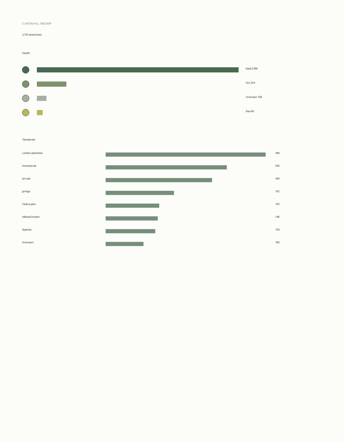
An interactive map of 2,792 street trees in Clinton Hill, Brooklyn
Interactive Web Map
Civic Data / Ecology / Interface
Data / Mapping
An interactive map of 2,792 street trees in Clinton Hill, Brooklyn
Interactive Web Map
Civic Data / Ecology / Interface
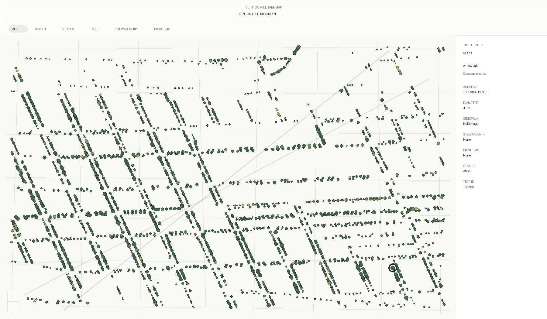
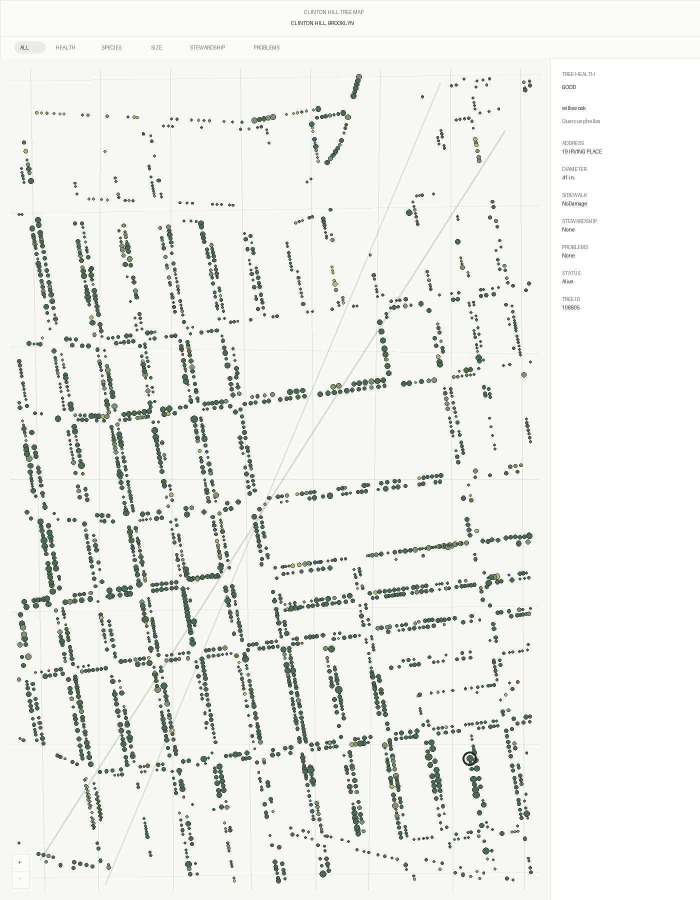
Clinton Hill Tree Map is an interactive web map built from local street tree census data. It uses mapped tree points to show neighborhood-scale patterns in species, health, status, stewardship, sidewalk condition, and trunk diameter.
The interface combines a map, filter bar, clustered markers, hover tooltips, and a selected-tree panel. Clicking a point turns a location into a detailed census record, making the neighborhood's urban canopy readable at both street and system scale.